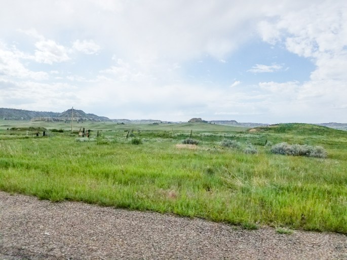
Today we traveled to the site of the battle of Little Bighorn and then explored parts of southeast Montana. As we stood looking out from the battle site all we could see was open land in every direction. It make little sense why battles like this occurred. Montana was empty and beautiful but not many pictures. We went to the Yellowstone river in search of agates and petrified wood but with the snow melt everything was covered.
The soldiers memorial at the top of Last Stand Hill.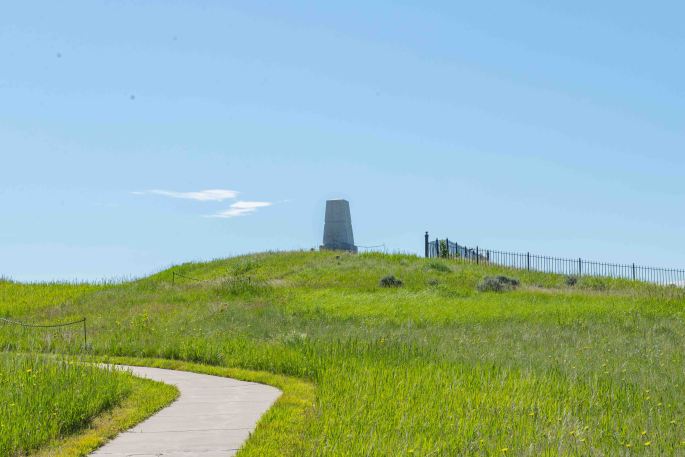
Memorial description.
Closeup of one side of the memorial.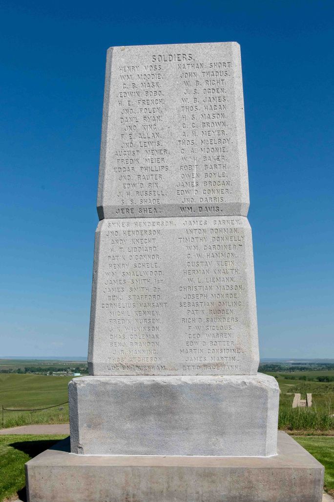
The Indian memorial.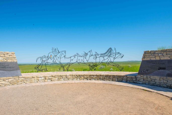
The markers show where each soldier died on Last Stand Hill. There were some civilians there also. The markers show the names of the officers and civilians but not of the enlisted men.
The marker with the black shows Custer’s death spot.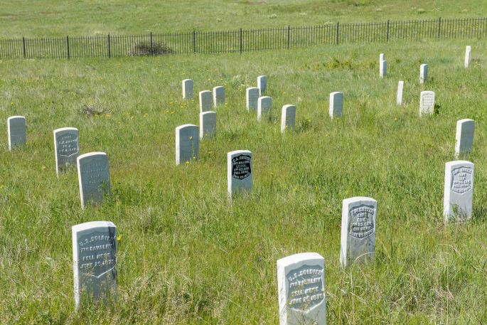
The early casualties are marked and are toward the bottom of the hill – see the white dots near the path.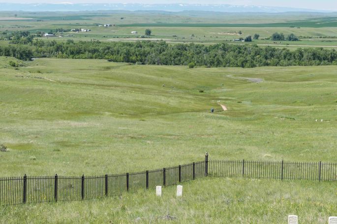
They have started marking the locations where the Indians died. I only saw three and hopefully they will add more. Enjoy the names.


Looking around Wyoming and Montana there is a huge amount of “uninhibited” land so why did we need to keep restricting where the Indians could live?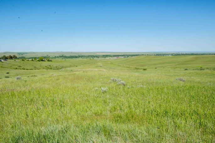
Horses seen at the bottom of Last Stand Hill.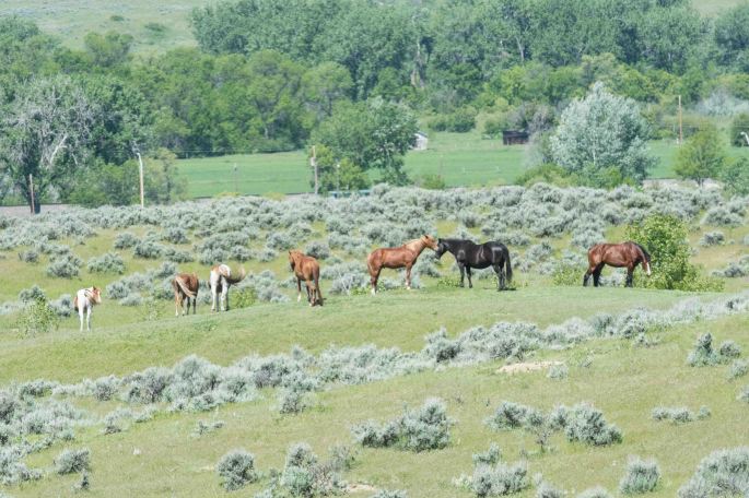
Once we left the memorial, I did get the pronghorn of the day.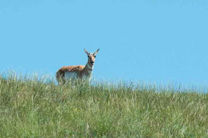
A view of Montana heading up I90. I wonder why they call this big sky country.
The Yellowstone River near Forsyth MT. It was so full from rain and snow melt we couldn’t really get to the banks to search for agates and petrified wood.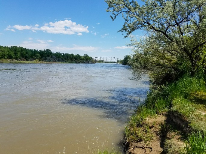
Another view of Montana from the back roads we took to get back to Sheridan.